Review: MapGO
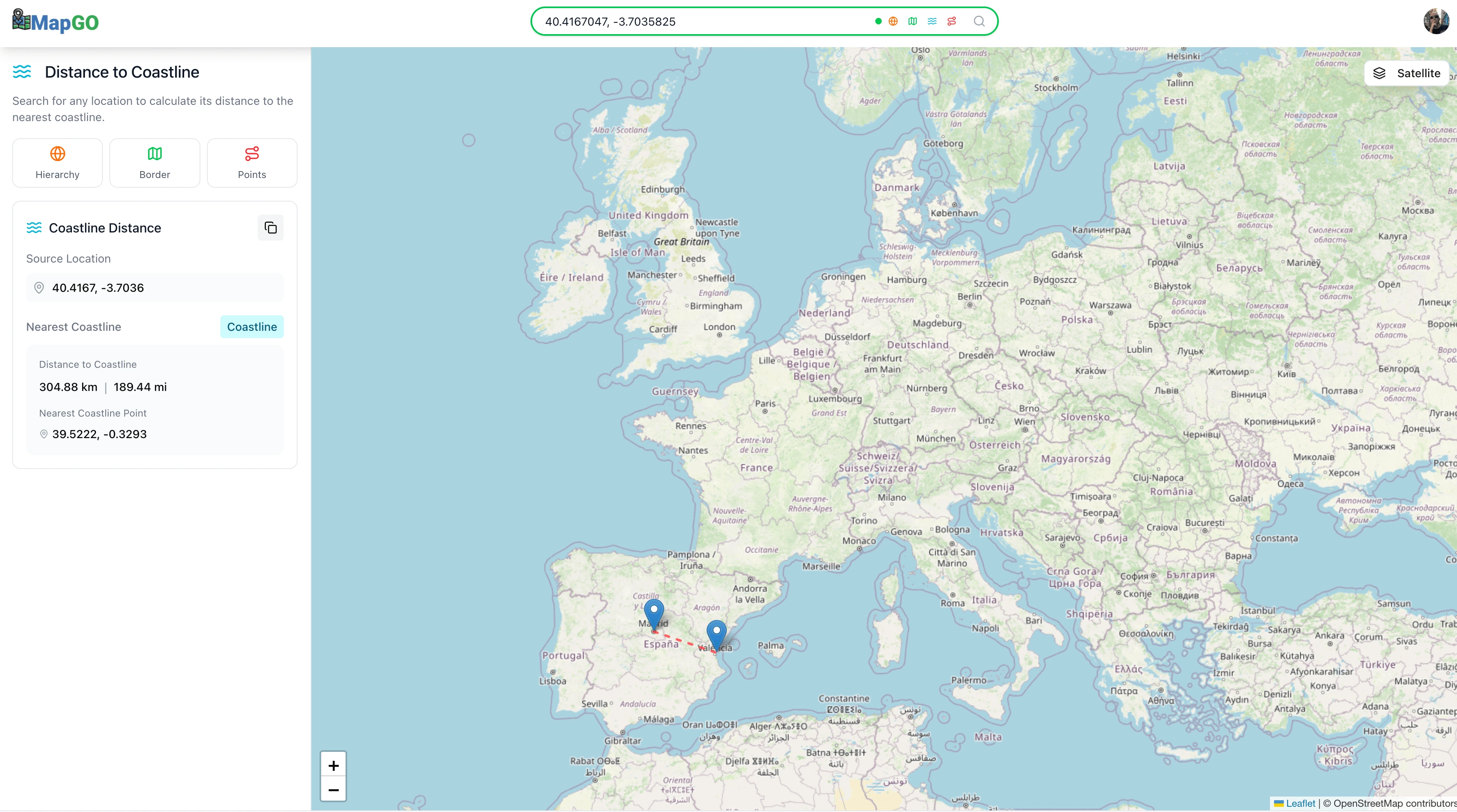
MapGO is a web-based geospatial tool designed for exploring and analyzing locations through an interactive map powered by OpenStreetMap. It offers a straightforward way to obtain detailed geographic insights by searching with coordinates or simply clicking on the map.
The platform provides several analytical features that make it practical for both casual users and professionals. The hierarchy function identifies administrative divisions such as continent, country, region, and municipality for any given point. The border feature calculates precise distances to the nearest country, regional, or sub-regional boundaries, while the coastline measurement tool determines how far a location is from the nearest coast in a straight line. Additionally, users can measure straight-line (as-the-crow-flies) distances between two selected points.
MapGO also includes common usability features such as satellite view, zoom and scale controls, and quick access to blog, home, about, and pricing sections.
Overall, MapGO feels like a lightweight geographic analysis assistant. It’s particularly useful for tasks such as real estate research, travel planning, or data visualization projects. The tool is free to try, with potential paid tiers planned for advanced or API-based usage.
